NSSA W.A.T.E.R. Project Working to Improve Restoration Efforts in Nova Scotia
How can local efforts be optimized to restore fish habitat in Nova Scotia?
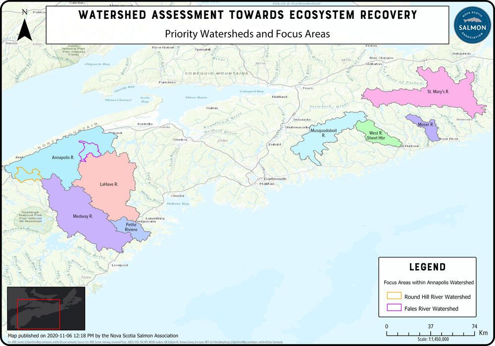
This is the question that the Nova Scotia Salmon Association (NSSA) set out to try and answer when they began their Water Assessment Towards Ecological Recovery (W.A.T.E.R.) project. The goal of this four-year project funded by DFO’s Nature Fund, which began in 2019, is to create Watershed Plans for 13 watersheds in Nova Scotia. Regional organizations can then follow these plans to maximize their habitat restoration efforts and ensure they are targeting key areas.
The W.A.T.E.R. Project will develop watershed plans to inform fish habitat restoration in Nova Scotia. Source: https://www.nssalmon.ca/water
The Watershed Plans will focus on improving the quality of habitat for 5 key species at risk: Atlantic Salmon, Atlantic Whitefish, Atlantic Sturgeon, American Eel, and Brook Floater. While this is an ambitious goal, it is one that the NSSA is uniquely positioned to accomplish.
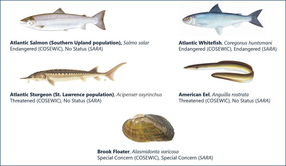
Watershed plans will focus on restoring habitat for 5 key species at risk. Source: Fisheries & Oceans and US Fish & Wildlife
As a well-connected organization representing the interests of over 25 river associations in Nova Scotia, NSSA has been able to work collaboratively with local stakeholders to monitor and gain local knowledge of the watersheds. This has included convening community meetings and surveying residents to help identify key areas for restoration. By combining this information with NSSA’s existing knowledge about healthy salmon populations and ecosystems, NSSA was able to identify close to 500 sites. These sites were chosen to capture a variety of different habitat types in order to better understand differing habitat conditions as well as to improve predictability of conditions in similar habitats in other parts of the watershed.
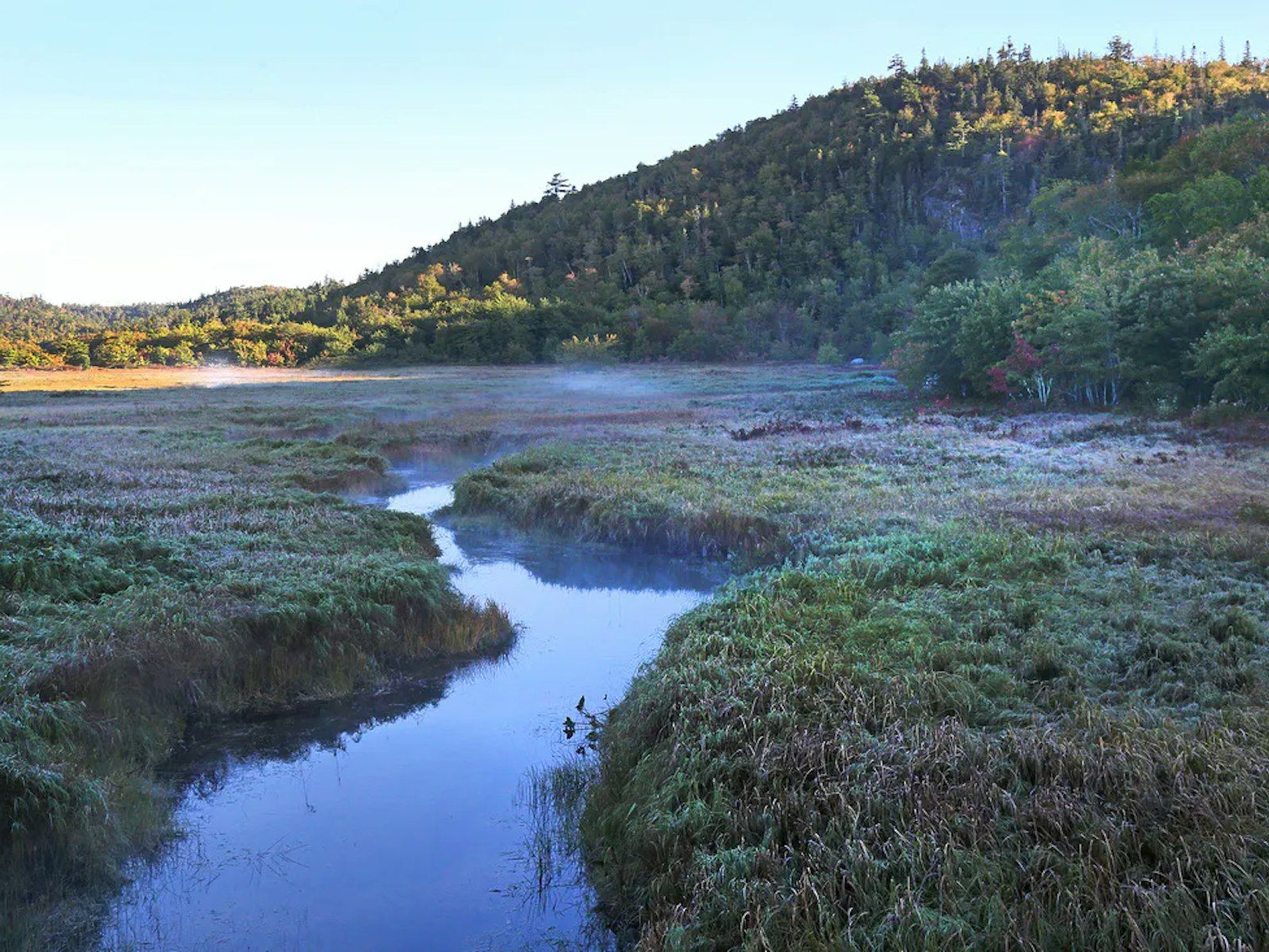
These 500 sites spread across 13 watersheds ranging from the Gulf of St. Lawrence on the North Shore of Nova Scotia to the Medway River on Nova Scotia’s South Shore. Covering such a large geographic area is no easy task, but thanks to their connections throughout the province, NSSA has been able to effectively work with volunteers and other watershed organizations to help manage this extensive project.
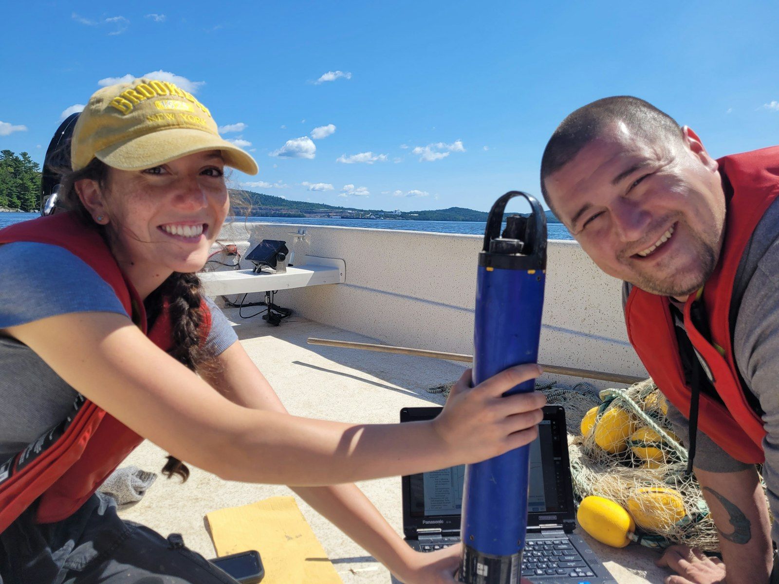
In year one, NSSA began with a smaller temperature sampling regime of 120 sites while also connecting detailed water chemistry samples and eDNA samples to get a baseline of species in the region. In year two, NSSA added another just over 300 temperature logger sites. Some sites maintained stationary throughout the season while others were only measured for one month of the summer with loggers being transferred in between sites. This was done to get a wider image of the watershed. When possible, probe readings of parameters such as pH and conductivity as well as dissolved metals are also measured.
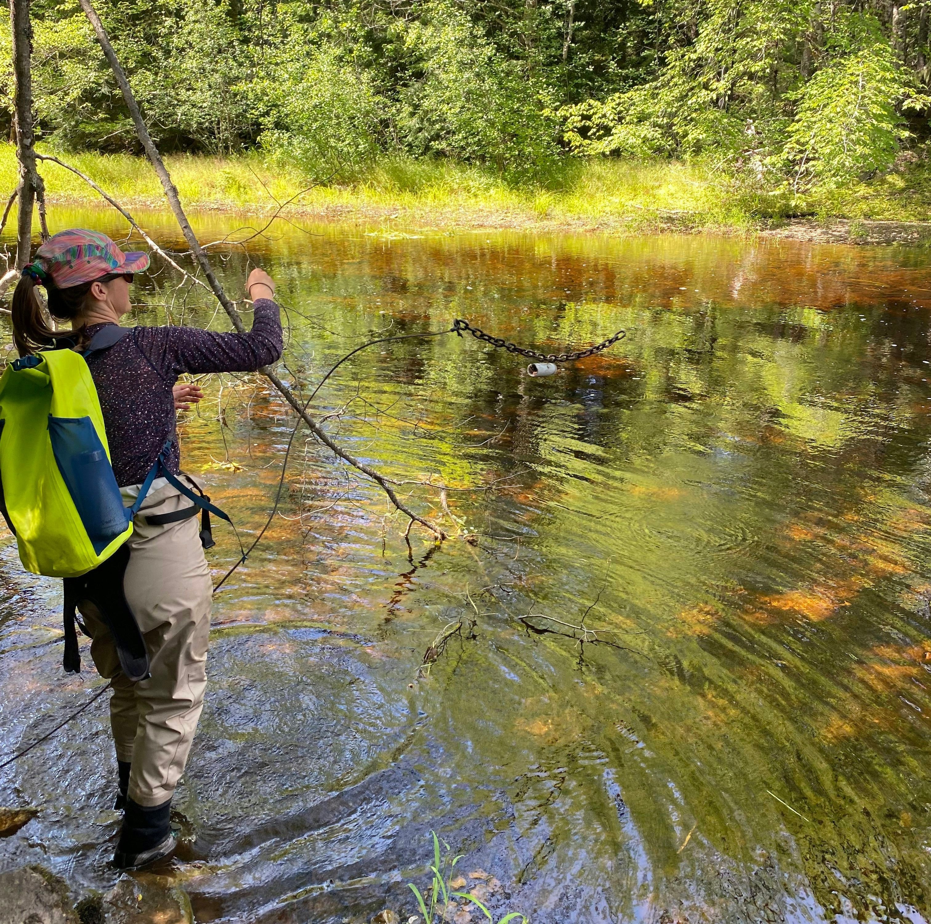
Temperature is a key parameter being measured as part of the W.A.T.E.R. Project.
In addition to field measurements, NSSA is also leveraging Lidar and GIS services to better understand the landscape and instream physical characteristics. Using the field data along with the Lidar and GIS information, NSSA hopes to create data rich maps showing where good ecosystems exist and areas where work can be done to enhance or restore the system.
Once all the data has been collected and analyzed, it will be used to construct unique watershed plans for each of the 13 watersheds. Within these plans will be maps outlining the results of the monitoring and Lidar mapping as well as the survey results from local residents. These plans will then aim to:
- Describe the current situation in the watershed
- Identify what information was missing from the 4-year study in order to fully understand the issues
- Qualify the health of the ecosystems in various regions within the watershed to support the 5 key fish species, as listed above
- Prioritize objectives and their costs so to maximize restoration efforts in the region
While the completion of the watershed plans is the end goal of this project, this will not be the end of the work for NSSA. Following the completion of the W.A.T.E.R. project, NSSA will begin working with local conservation groups and stewards, including those involved in their Adopt-A-Stream program, to implement the recommendations within the plans.
NSSA will be working with DataStream to share the water monitoring results collected throughout the project.
While there is still much work left to do, NSSA has already accomplished much in the first two years of this project. DataStream is looking forward to collaborating with the NSSA to make the invaluable data collected through this program available through Atlantic DataStream so that others can leverage this information to improve and protect water quality.
Patrick LeClair
Patrick LeClair joined The Gordon Foundation in 2019 as a Data Specialist. In this role he works with communities and other collaborators to continually grow and improve all three DataStream hubs, which are online, open-access platforms for sharing water quality data across Canada. Patrick has a background in water quality and data management and is passionate about working with groups across Canada to help tell their story through data to enact positive environmental change.
Patrick is based in Halifax and can be reached at patrick@gordonfn.org.