Latest news
Results for All regional hubs and Data use
For the past four years, Madawaska Kanu Centre’s office team have been tracking the river’s water quality. Once a month, unless the conditions are too icy, they measure parameters like pH levels, dissolved oxygen and transparency.
Read story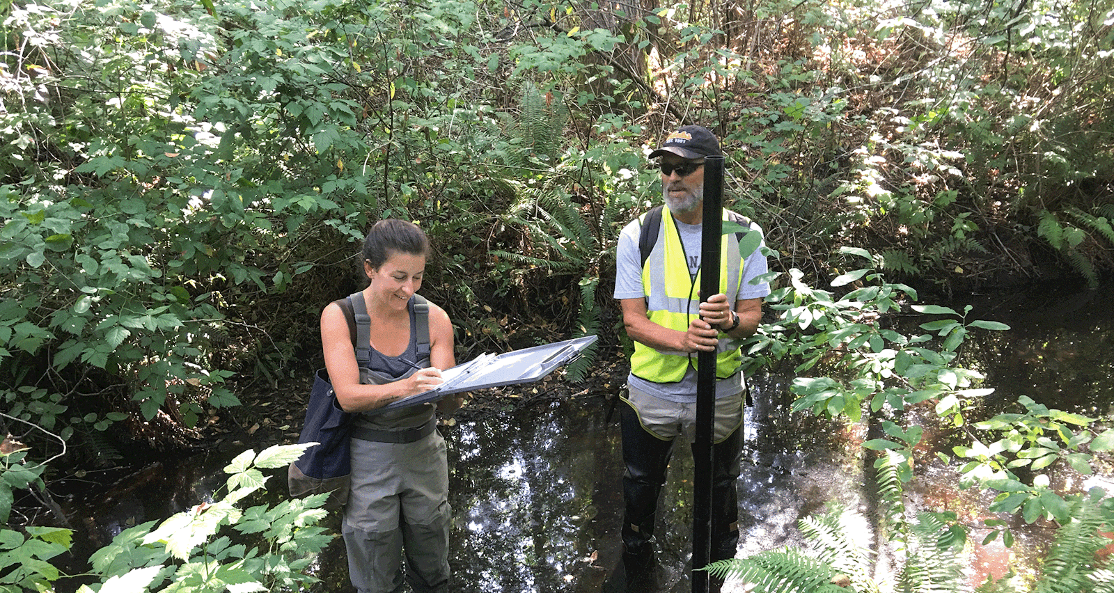
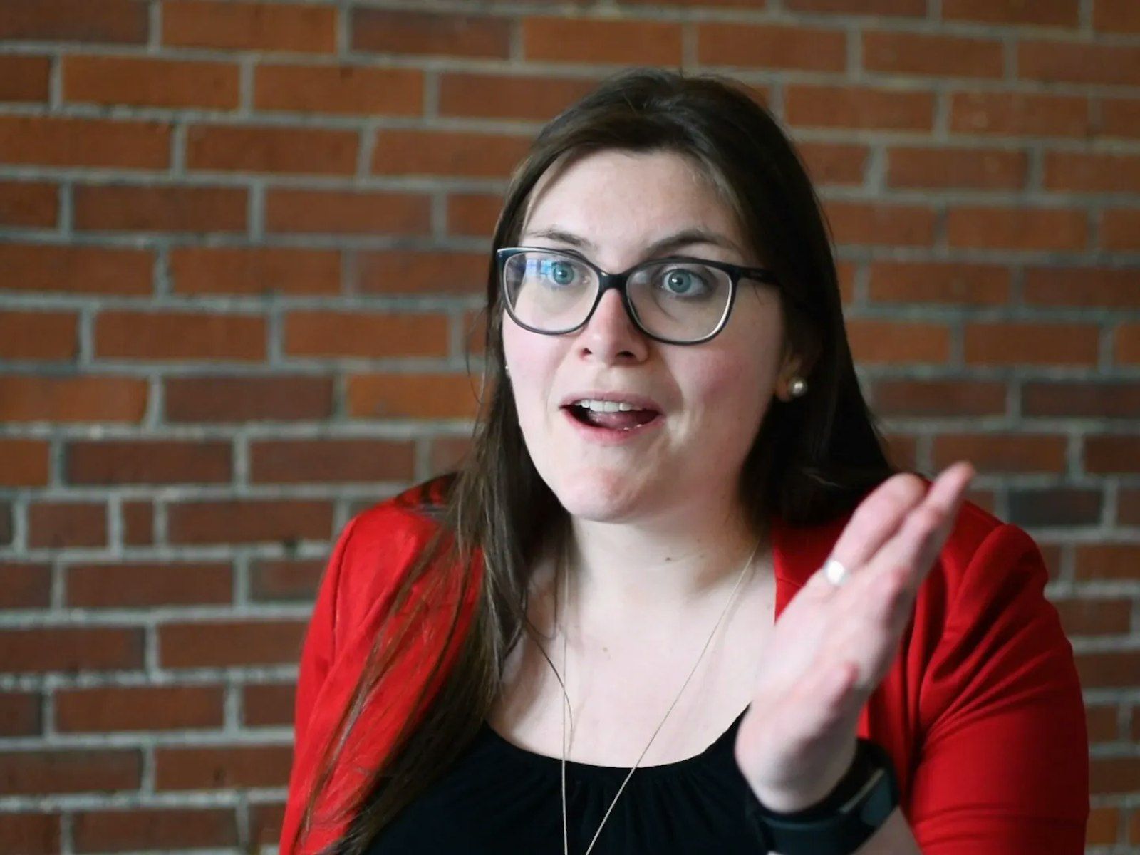
Nikki Kroetsch is a big believer in the power of community-based creek monitoring. Governments don’t have the capacity to monitor every little waterway, she says, which has led to many stewardship groups doing the work.
Read story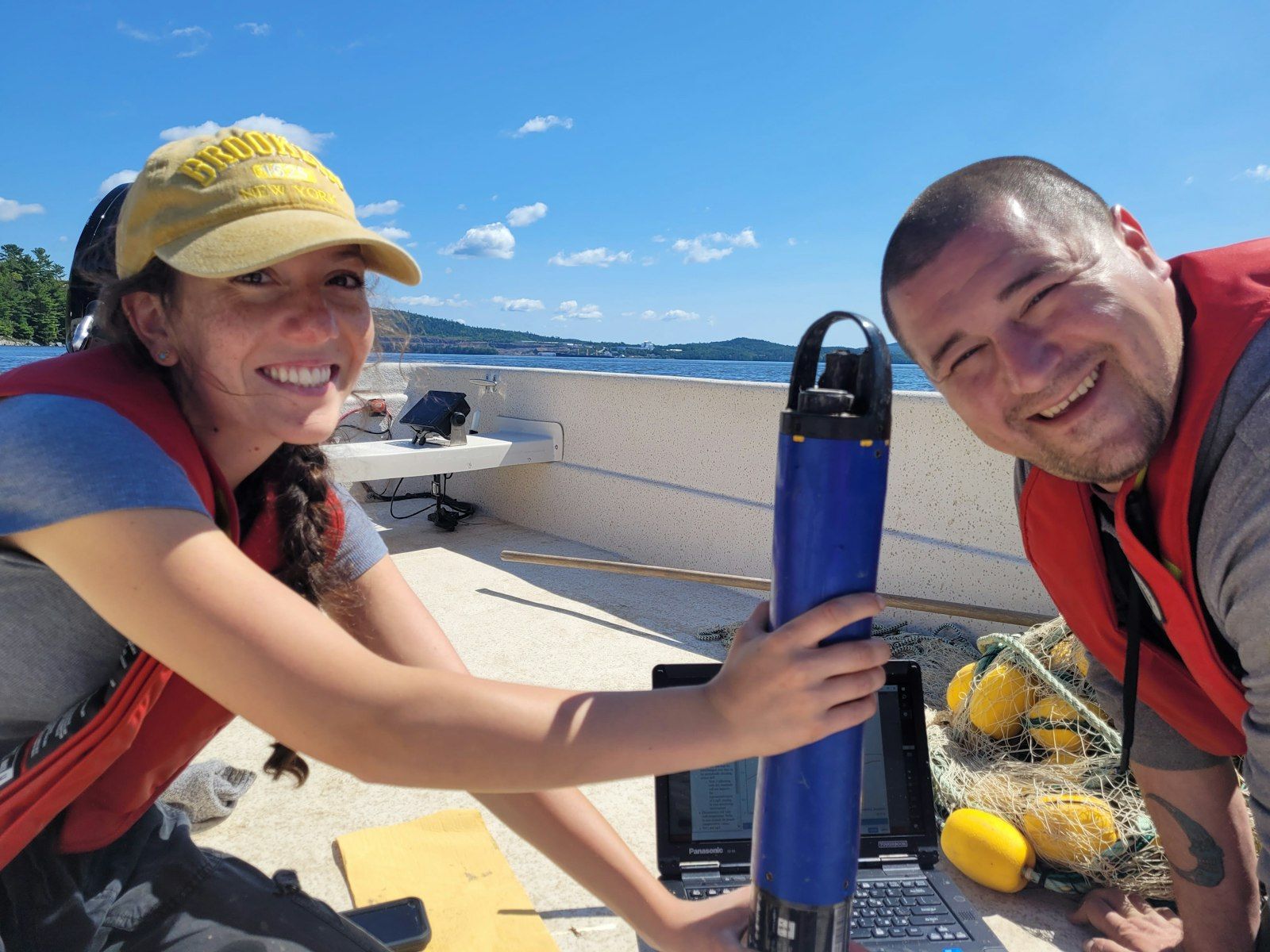
In 2019, the Nation developed a restoration plan for the Skutik watershed. “We are looking to restore as closely as now possible to how the Peskotomuhkati lived in the territory pre-contact,” explains Meyer.
Read story
For nearly two decades, Atlantic Water Network has been helping 100+ water-monitoring organizations across Atlantic Canada track the health of their watersheds.
Read story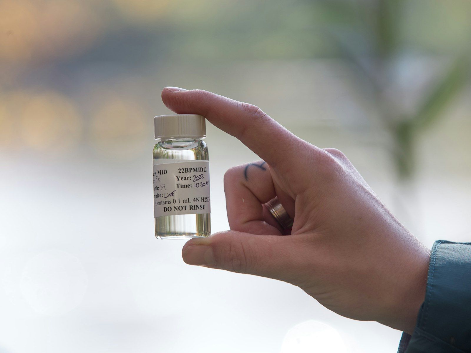
Lake Winnipeg’s watershed spans nearly a million square kilometres across four Canadian provinces and four U.S. states. Each spring, when the snow melts across that vast territory, it carries a tsunami of phosphorus into the lake. And that’s a big problem.
Read story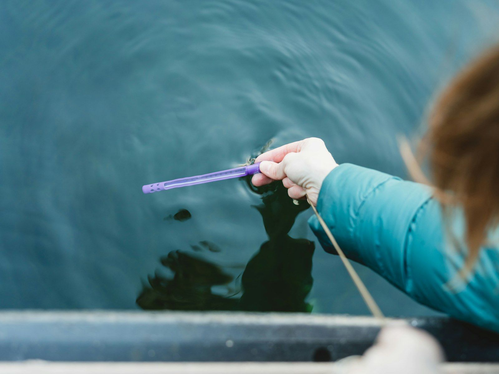
In 2021, Living Lakes Canada launched the National Lake Blitz. The water stewardship organization had two goals: to help track the impact of climate change on Canada’s lakes and to make it easy for everyone to get involved in water monitoring, no matter their age or experience.
Read story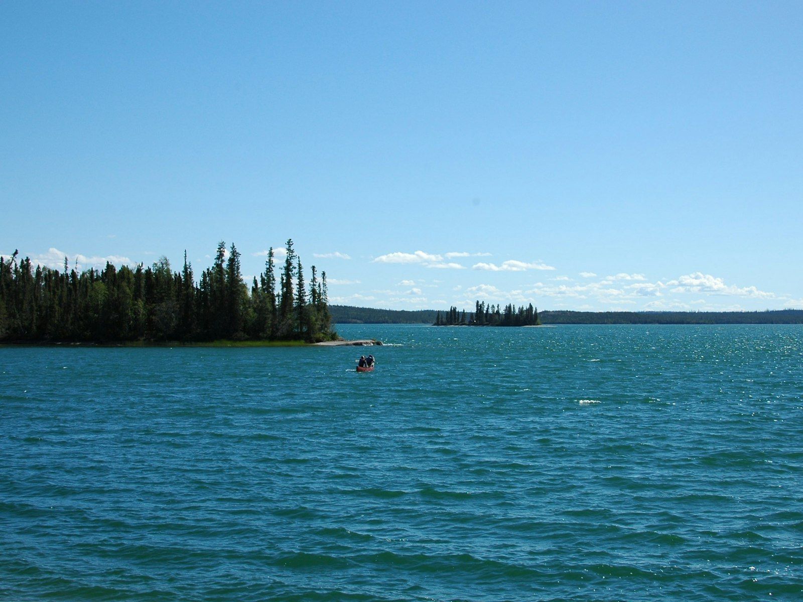
In watersheds across Canada, temperatures are rising, rainfall patterns are shifting, and storms are hitting harder and more frequently. We’re seeing more droughts, floods, runoff and algal blooms. And the pace of climate change just keeps accelerating.
Read story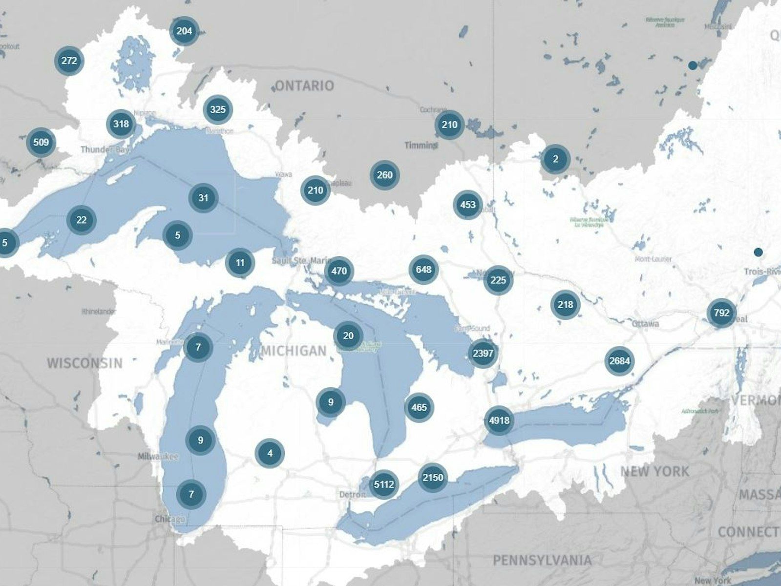
DataStream’s open access platform provides a place to share and access water quality data collected by diverse organizations across the country.
Read story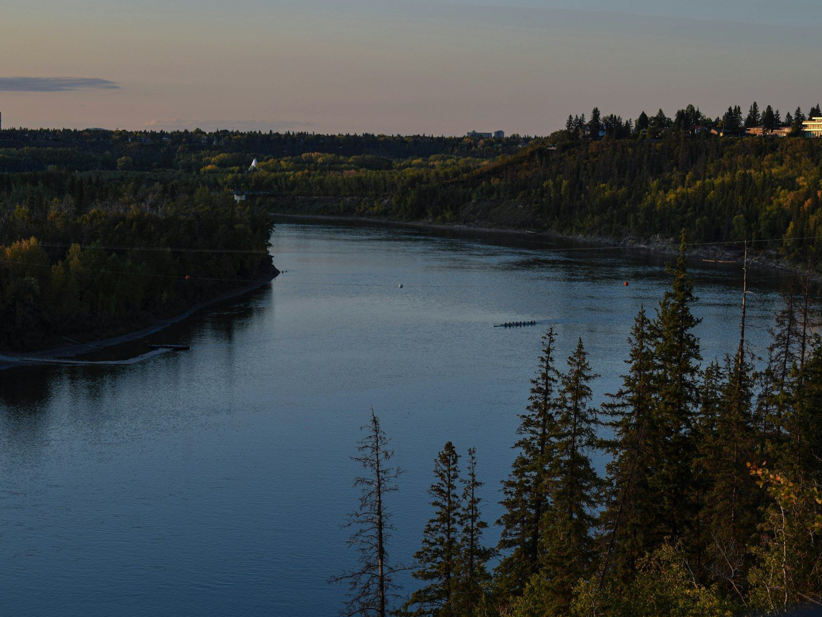
More than a million people depend on Steph Neufeld. As a watershed specialist at EPCOR, she keeps a close eye on the North Saskatchewan River, which provides drinking water for the city of Edmonton and the surrounding region.
Read story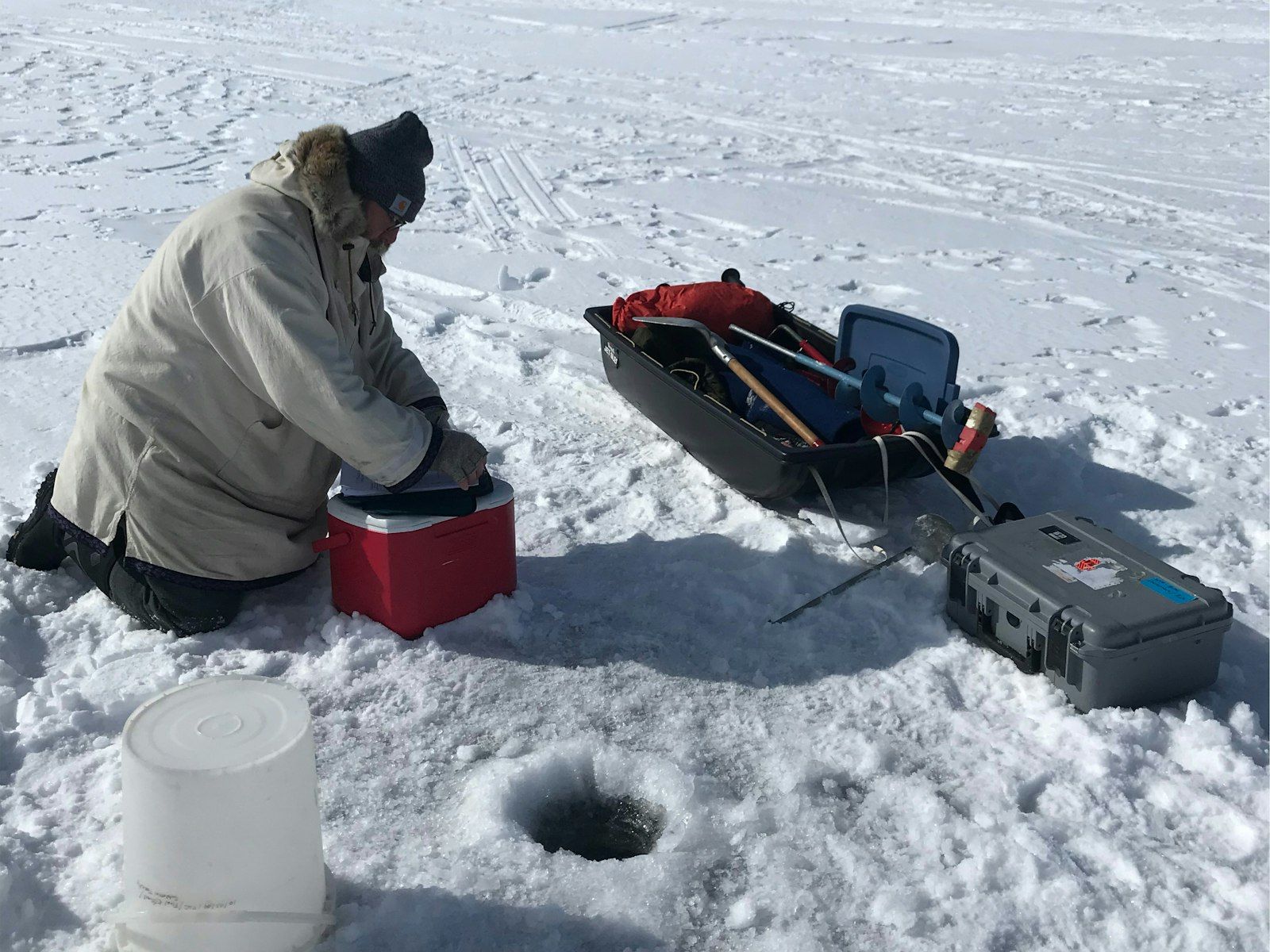
To the casual observer, these could be two ice fishers out for a day on the lake. But, instead of lowering a fishing rod into the hole, Mary and Rick lower in a temperature probe.
Read story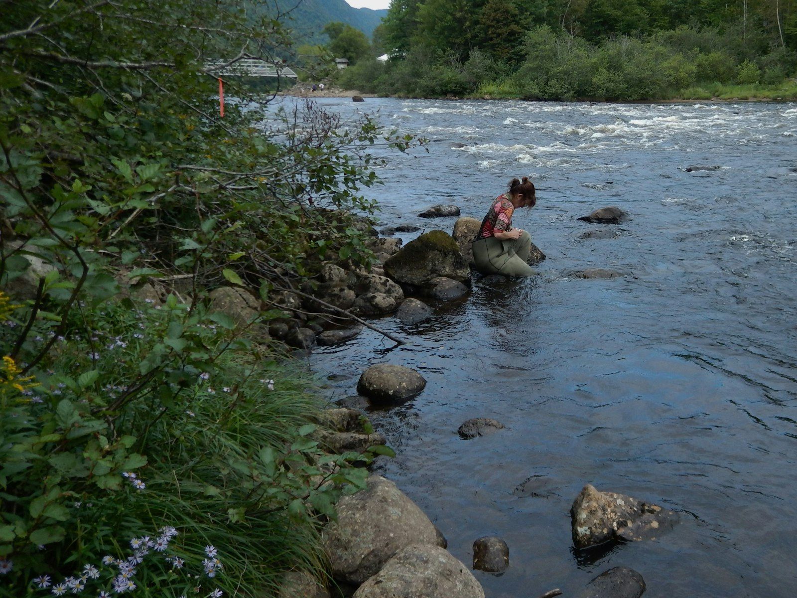
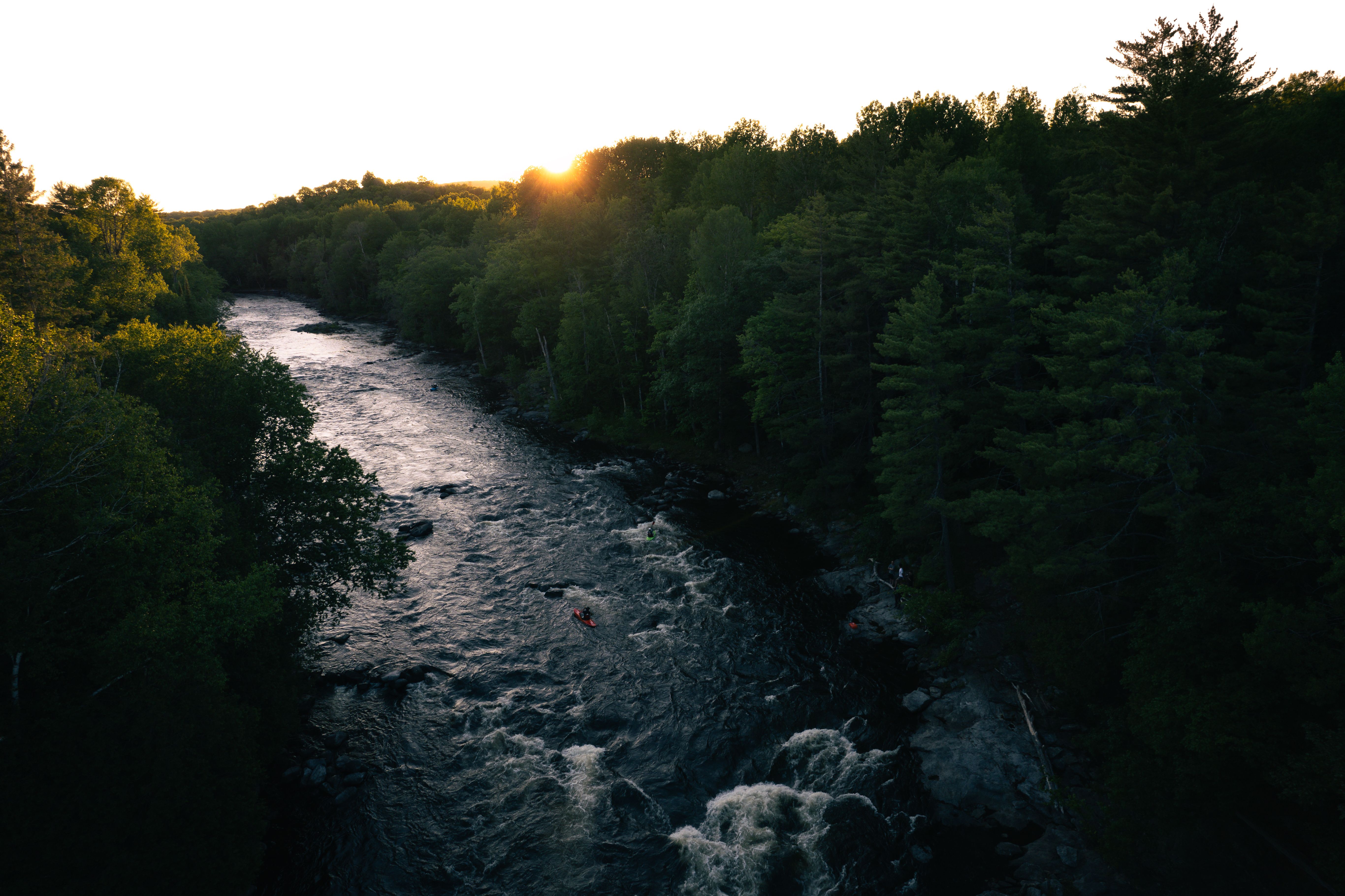
Today, Atlantic salmon are in hot water — literally and figuratively. Climate change and deforestation are raising the temperature of many watersheds in Quebec and Atlantic Canada. And that’s bad news for these cold-blooded creatures that already face a slew of other pressures.
Read story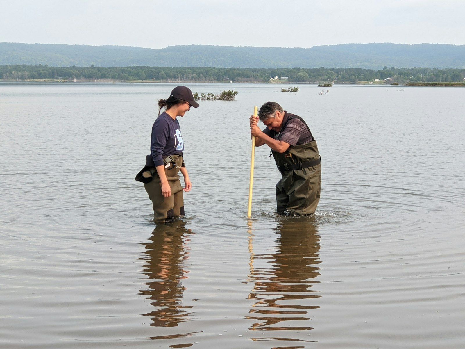
Located just east of Sault Ste. Marie, Garden River First Nation sits along the St. Marys River — the major artery connecting Lake Superior to Lake Huron. Here, inland lakes, rivers and streams teem with chinook salmon, northern pike, walleye and more.
Read story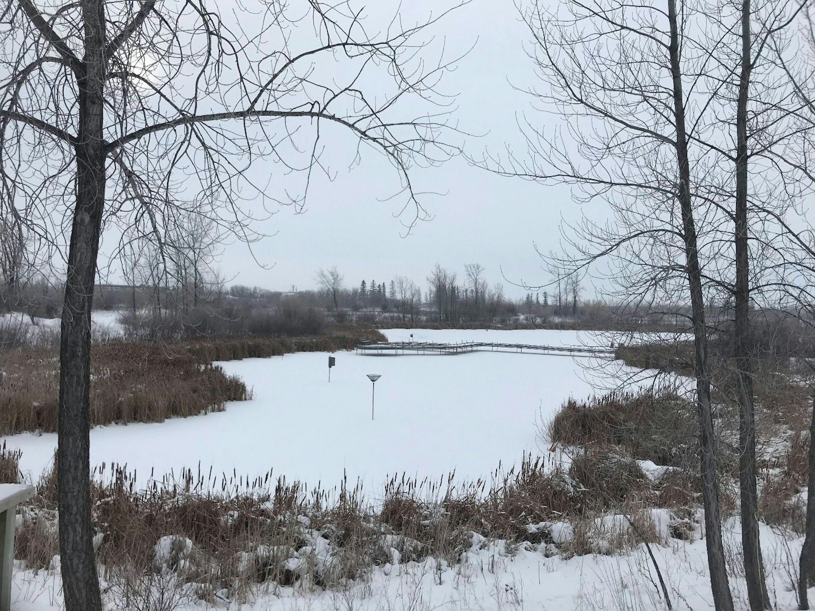
Situated on the past site of a cement factory and clay mining operation dating back to 1911, FortWhyte Alive is an urban nature centre located in Winnipeg, Manitoba, focused on environmental education. The relic mining pits have become five pit lakes which support healthy fish and waterfowl populations. School groups and the general public visit FortWhyte Alive to walk along the trail network, canoe on the lakes, birdwatch, and learn about the importance of healthy freshwater ecosystems.
Read story
The success of the Northwest Territories-wide community-based monitoring (NWT-wide CBM) program is a testament to the power of collaboration in action. Running for a decade now, the program has grown to include 21 communities that collect water quality data from over 40 monitoring sites across the territory.
Read story
When the Canadian Freshwater Alliance (CFA) put out the call for water testing volunteers through its Lake Erie Guardians program, the response was overwhelming. Relaunched in 2021 in partnership with Water Rangers, the new monitoring initiative attracted hundreds of applications for the 50 spots available.
Read story
Each spring, volunteers take samples at more than 800 sites, stretching from Lake Erie up into the Boreal forest and from east of Ottawa all the way to the Manitoba border. Those samples are then sent back to Dorset to be analyzed for phosphorus, calcium and chloride levels.
Read story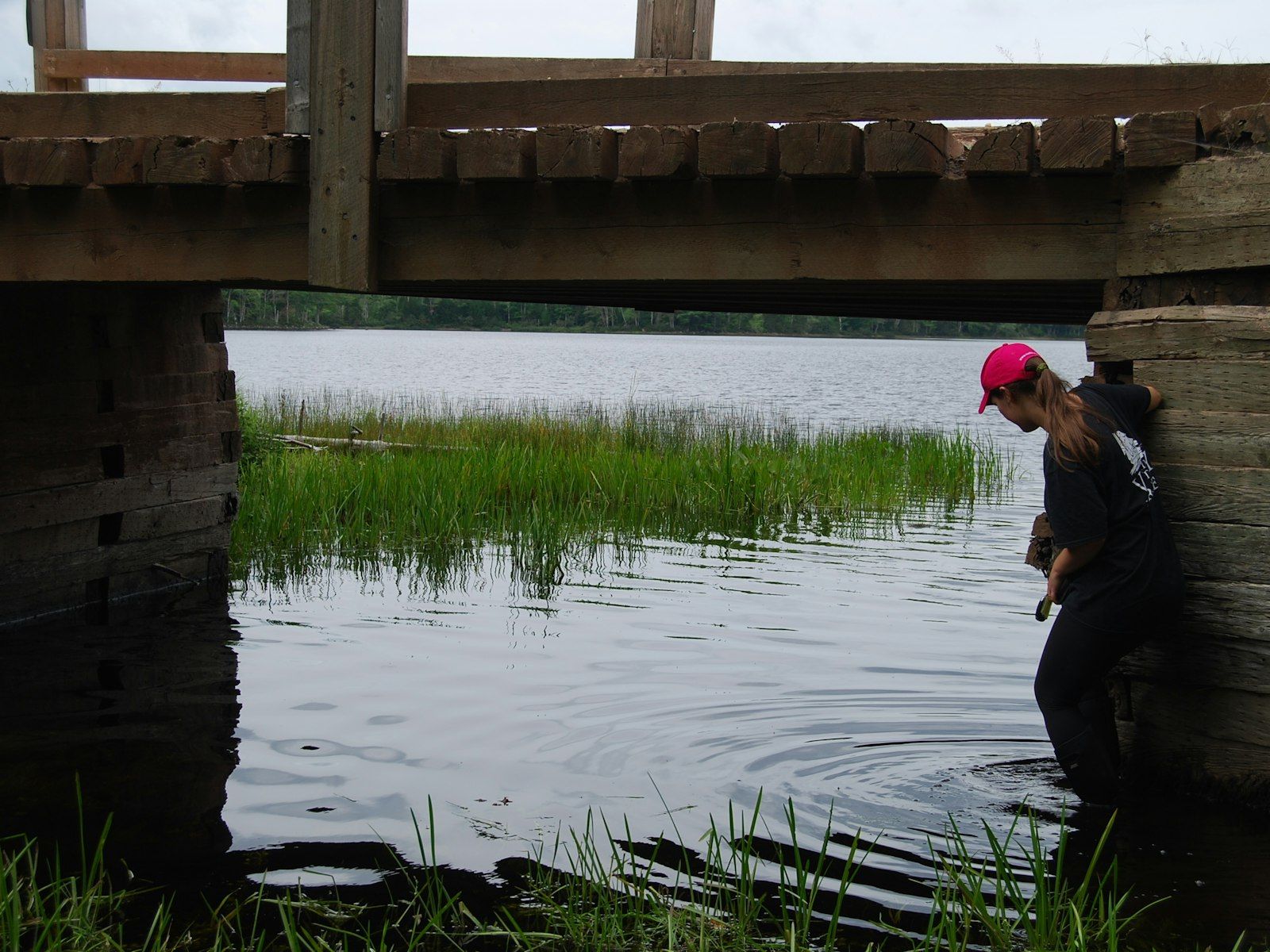
How can local efforts be optimized to restore fish habitat in Nova Scotia? This is the question that the Nova Scotia Salmon Association (NSSA)set out to try and answer when they began their Water Assessment Towards Ecological Recovery (W.A.T.E.R.) project. The goal of this four-year project funded by DFO’s Nature Fund, which began in 2019, is to create Watershed Plans for 13 watersheds in Nova Scotia. Regional organizations can then follow these plans to maximize their habitat restoration efforts and ensure they are targeting key areas.
Read story
As a water researcher at the University of Waterloo, Dr. Nandita Basu creates models to help answer big questions. How well do wetlands protect against algal blooms? Where are the biggest hotspots for agricultural runoff? How is climate change affecting water quality? DataStream promises to make life easier for Basu and her colleagues. In fall 2021, the release of the latest regional hub, Great Lakes DataStream, will bring together water quality datasets throughout the Great Lakes and Saint Lawrence Basin in a standardized format.
Read story
Most days from March to November, Funk treks to one of the conservation authority’s 94 monitoring sites, where she collects data on everything from water temperatures to nutrient loads to aquatic bugs. Today, she’s helping bring that information out of hiding through Great Lakes DataStream.
Read story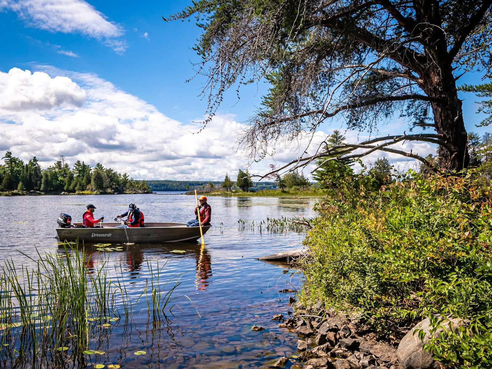
Monitoring water quality in an area twice the size of New Brunswick is no small task. But size is just the first challenge for Ottawa Riverkeeper — a charitable organization that works to protect and improve the ecological health of the Ottawa River watershed.
Read story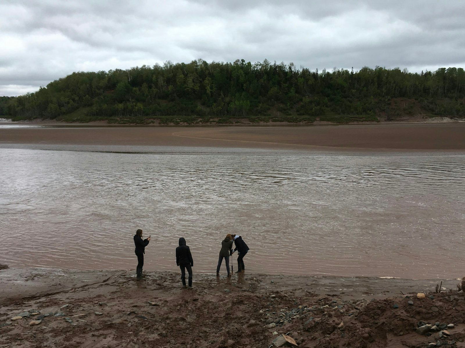
What happens to water data after it has been collected by community monitoring groups? That is the driving question behind a Nova Scotia-focused research project that brought together academic, community and government voices. Led by Alice Cohen out of Acadia University in collaboration with Coastal Action and the Atlantic Water Network, and supported by the Change Lab Action Research Initiative (https://actionresearch.ca/), the research project included a workshop, interviews and online webinar, with a recent report summarizing the key findings.
Read story
The recently released WWF Canada 2020 Watershed Reports provide a national assessment of Canada’s freshwater. WWF Canada was able to efficiently draw on community based water monitoring (CBWM) data thanks to DataStream. Although the report shows the health of 60% of watersheds is unknown, there has been significant progress since the last assessment in 2017, with ten additional watersheds receiving a score. DataStream is designed to support communities driving the data-to-policy cycle so it is exciting to see that DataStream is playing a role in improving data access and putting community generated data on the map, so that it can be used in regional and national scale assessments and ultimately support decision-making.
Read story
For the Prince Edward Island Watershed Alliance (PEIWA) the benefits of being based in a small province are clear. “We can be really interconnected, and we can facilitate working together” explains Angela Banks, Project Manager at the Alliance, “when it comes to data management and equipment sharing and stuff like that it’s been really, really helpful to have that umbrella organization.”
Read story
The Lake Winnipeg Foundation (LWF) runs a phosphorus-focused community based monitoring network – a fantastic example of citizen science in action. Watch the video below to find out more from Mike Stainton, President of the LWF Board of Directors.
Read story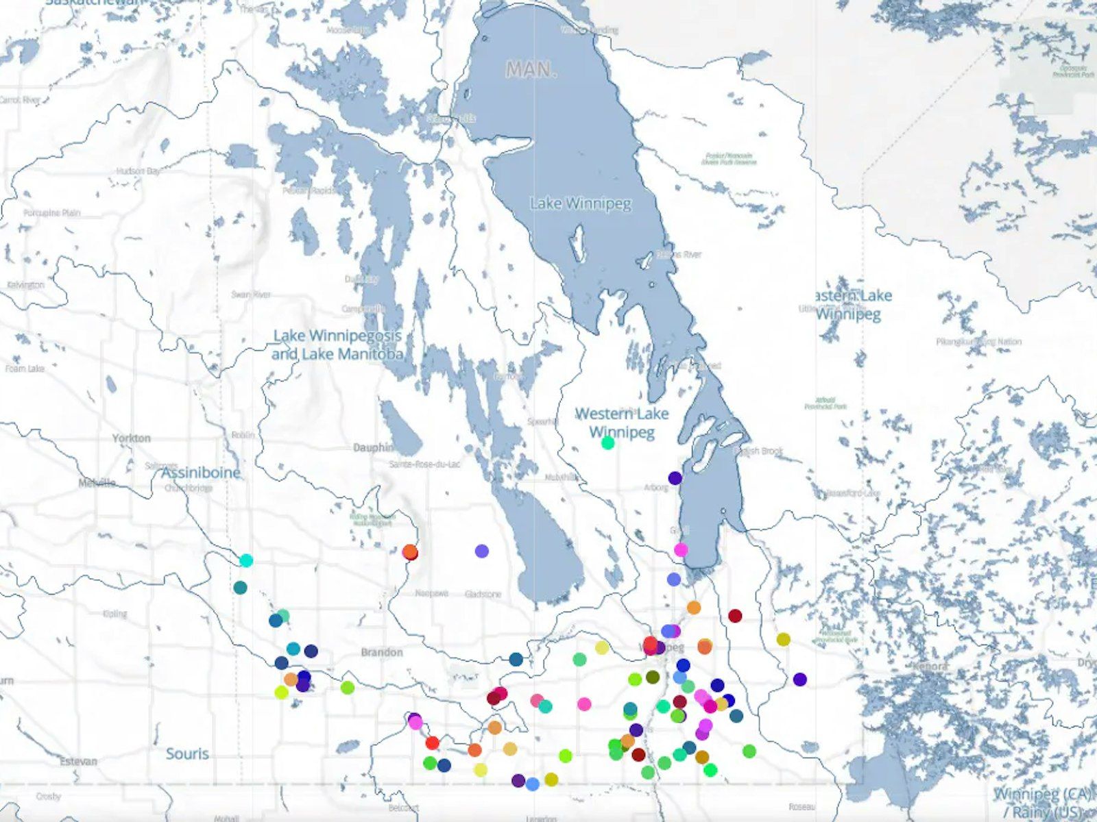
The Lake Winnipeg Community-Based Monitoring Network (LWCBMN) was launched in fall 2015. Supported by the Lake Winnipeg Foundation ’s Science Advisory Council, this growing network engages citizen volunteers to collect water samples across Manitoba using scientifically vetted protocols. Samples are then analyzed in a lab to measure phosphorus concentration and calculate the amount of phosphorus being exported off the landscape.
Read story